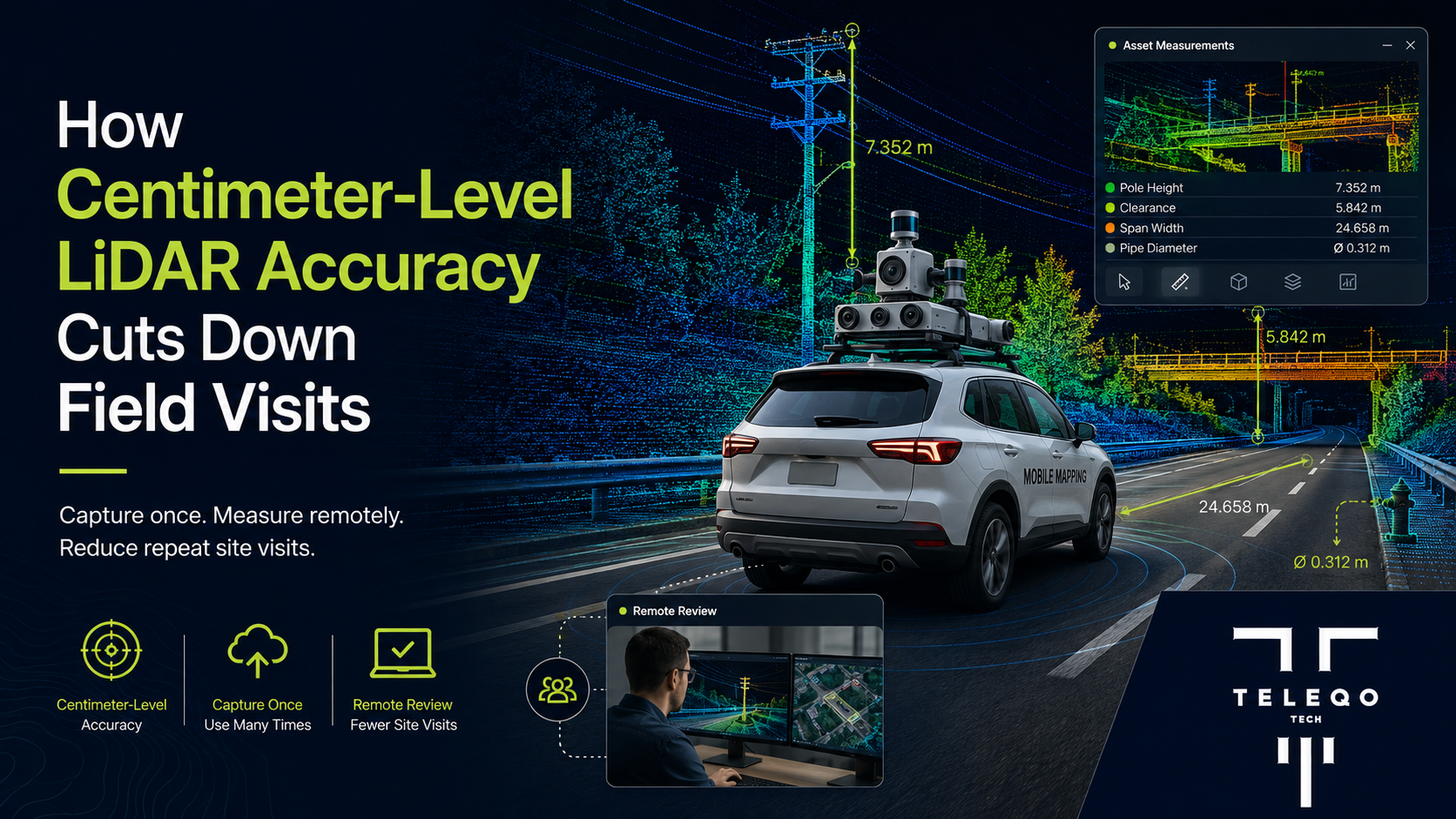
Teleqo Tech is a trusted provider of Mobile Mapping Services, helping organizations collect, process, and visualize infrastructure data more efficiently.
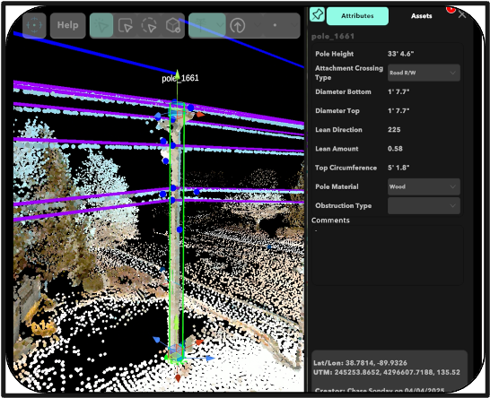
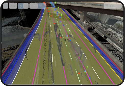
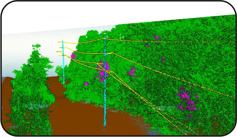
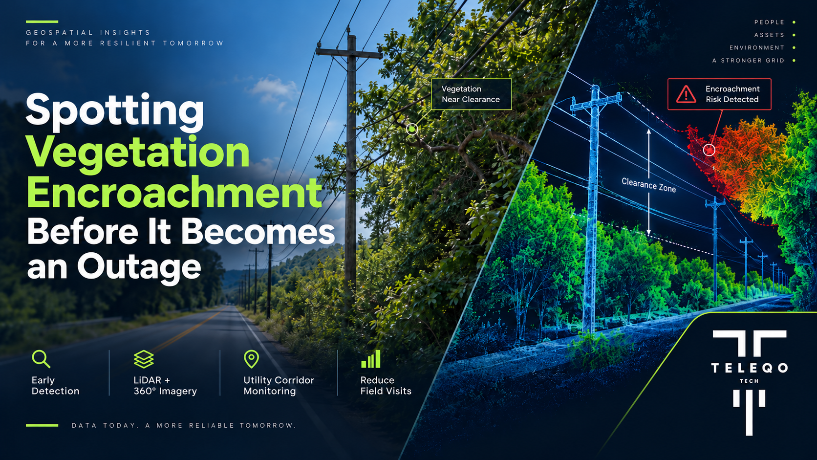
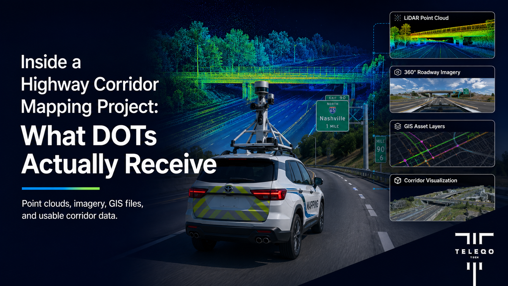
Our comprehensive Geospatial Data Services combine high-density LiDAR point clouds, panoramic imagery, GIS integration, and cloud-based visualization to create accurate digital representations of real-world infrastructure. These datasets help engineers, planners, utilities, and government agencies reduce field visits, improve decision-making, and optimize infrastructure investments.
Since 2020, our team has successfully captured more than 50,000 miles of mobile LiDAR and imagery throughout North and South America while extracting over 1 million infrastructure assets for GIS and asset management systems.
From highways and bridges to utility poles, fiber networks, road assets, and transportation corridors, our LiDAR Mapping Services provide the spatial intelligence organizations need to confidently plan, inspect, maintain, and expand critical infrastructure.